Dev Blog #57
Greetings in the new year, comrades!
As promised, closer to the release, we will be telling you more about the components of the Korea map. And we will start the new year with an object that is home to any ground-based aviation pilot — their base, the airfield.
As promised, closer to the release, we will be telling you more about the components of the Korea map. And we will start the new year with an object that is home to any ground-based aviation pilot — their base, the airfield.
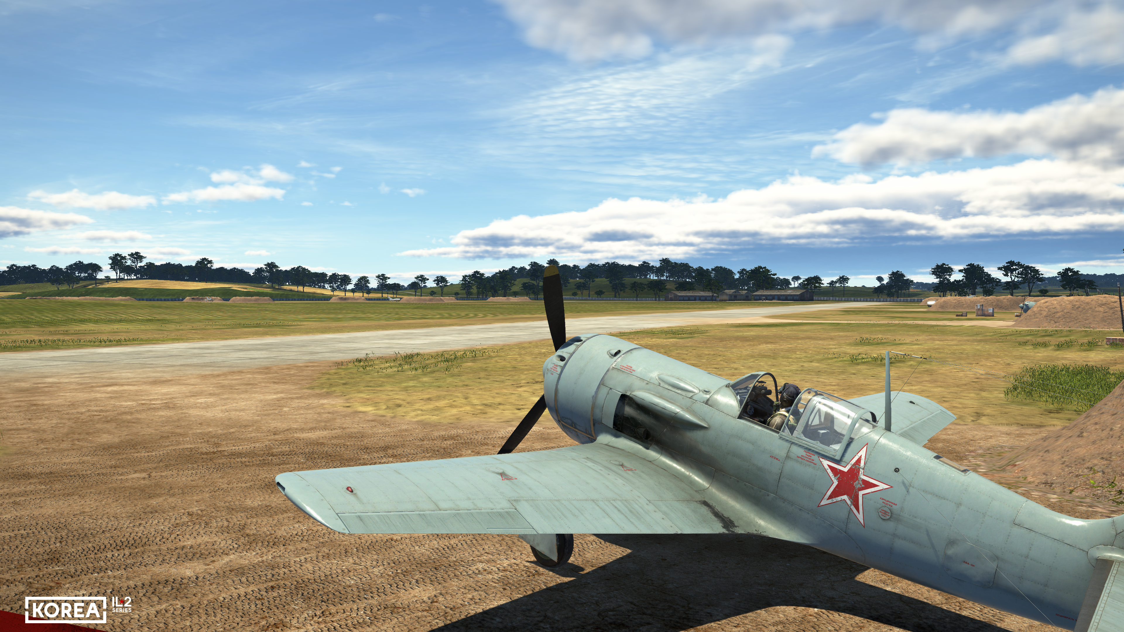
Of course, we have been working with airfields for a very long time. But it is in Korea that we have been able to take a significant and fundamental step forward in this area. We have already shared our initial work in this direction, and now it’s time to show the results, which are close to final.
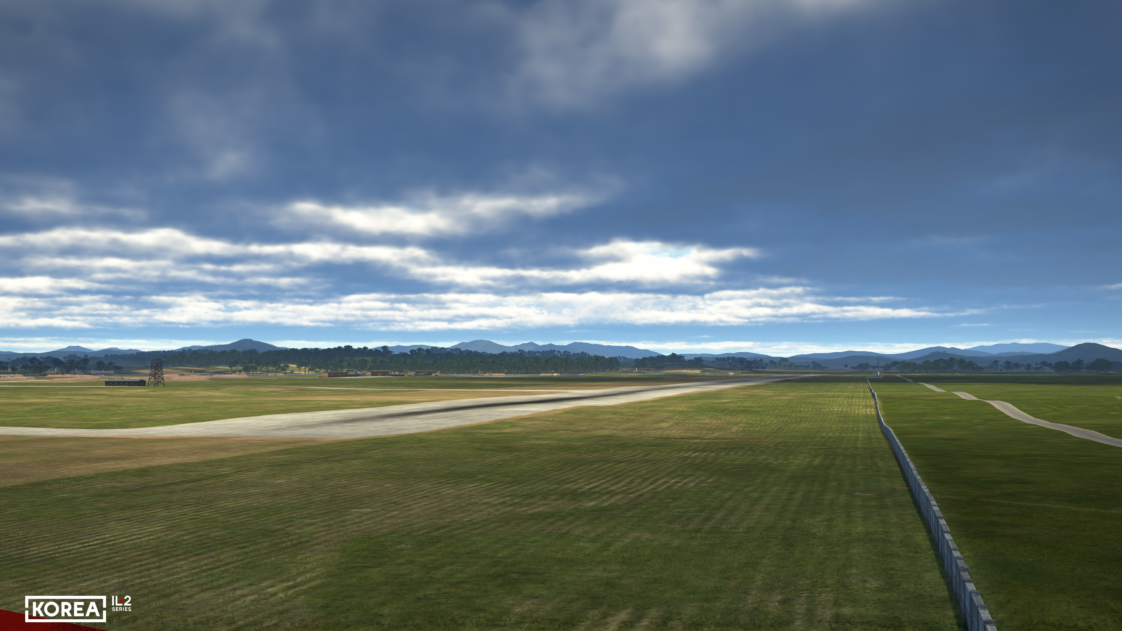
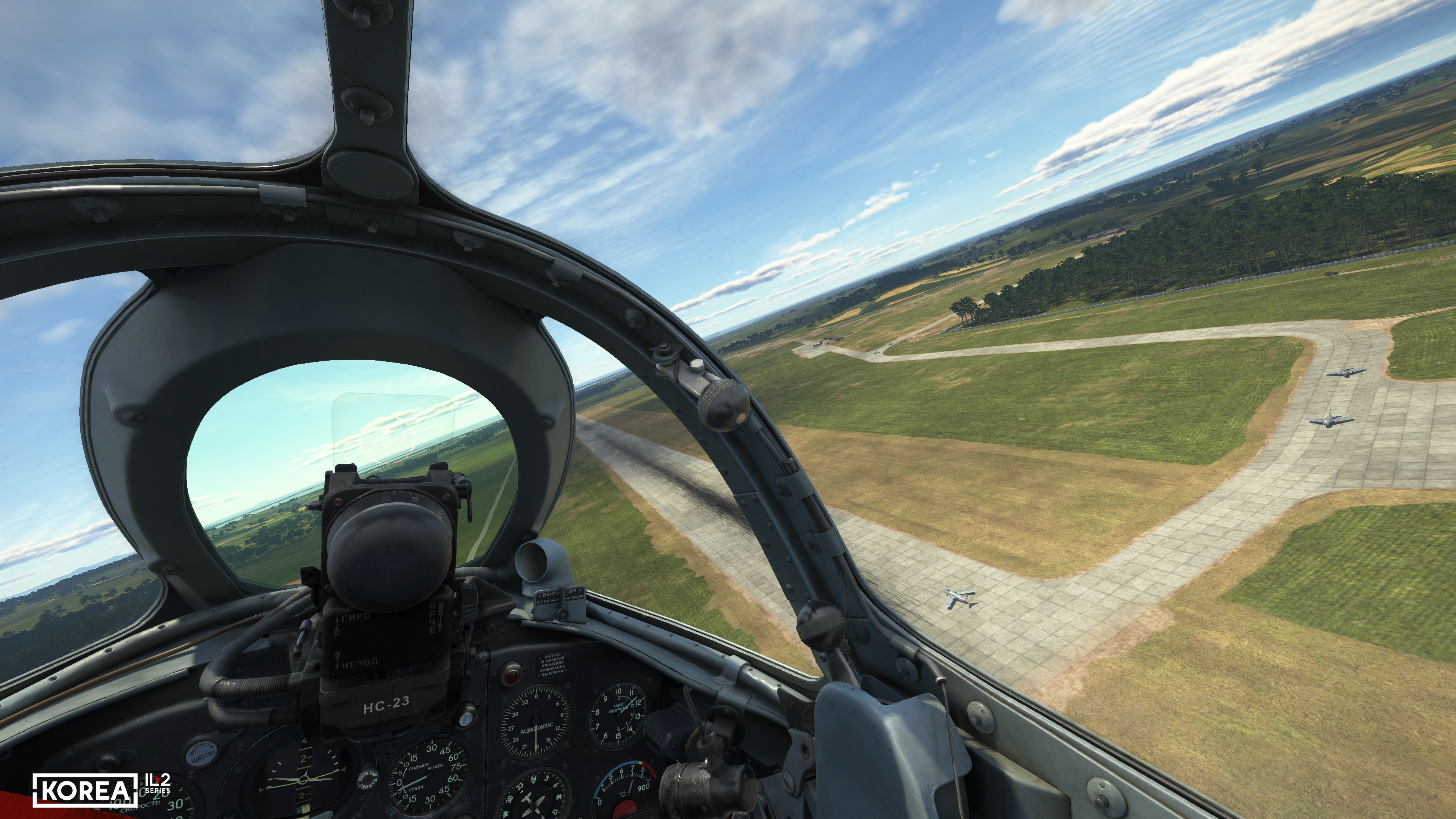
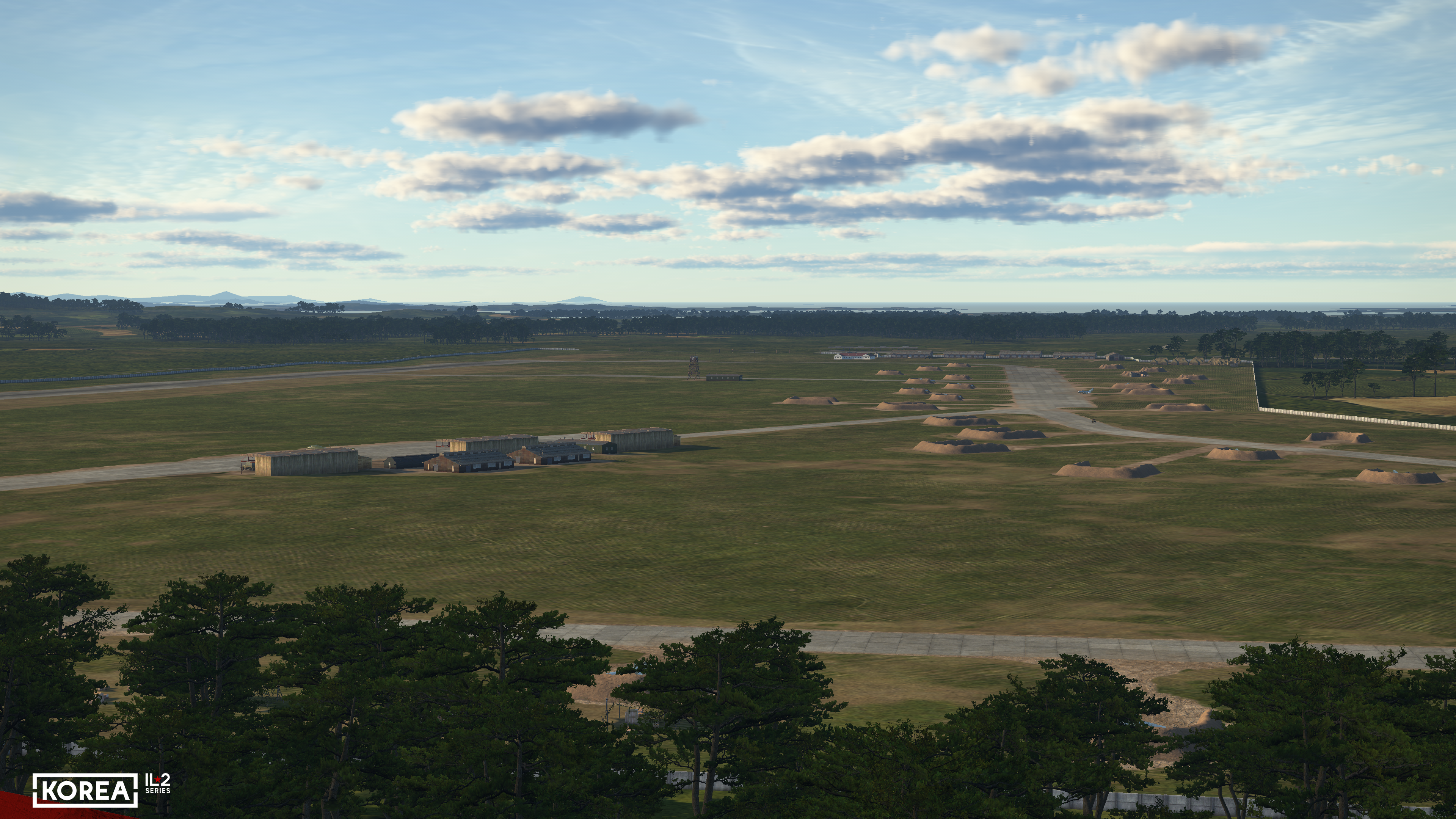
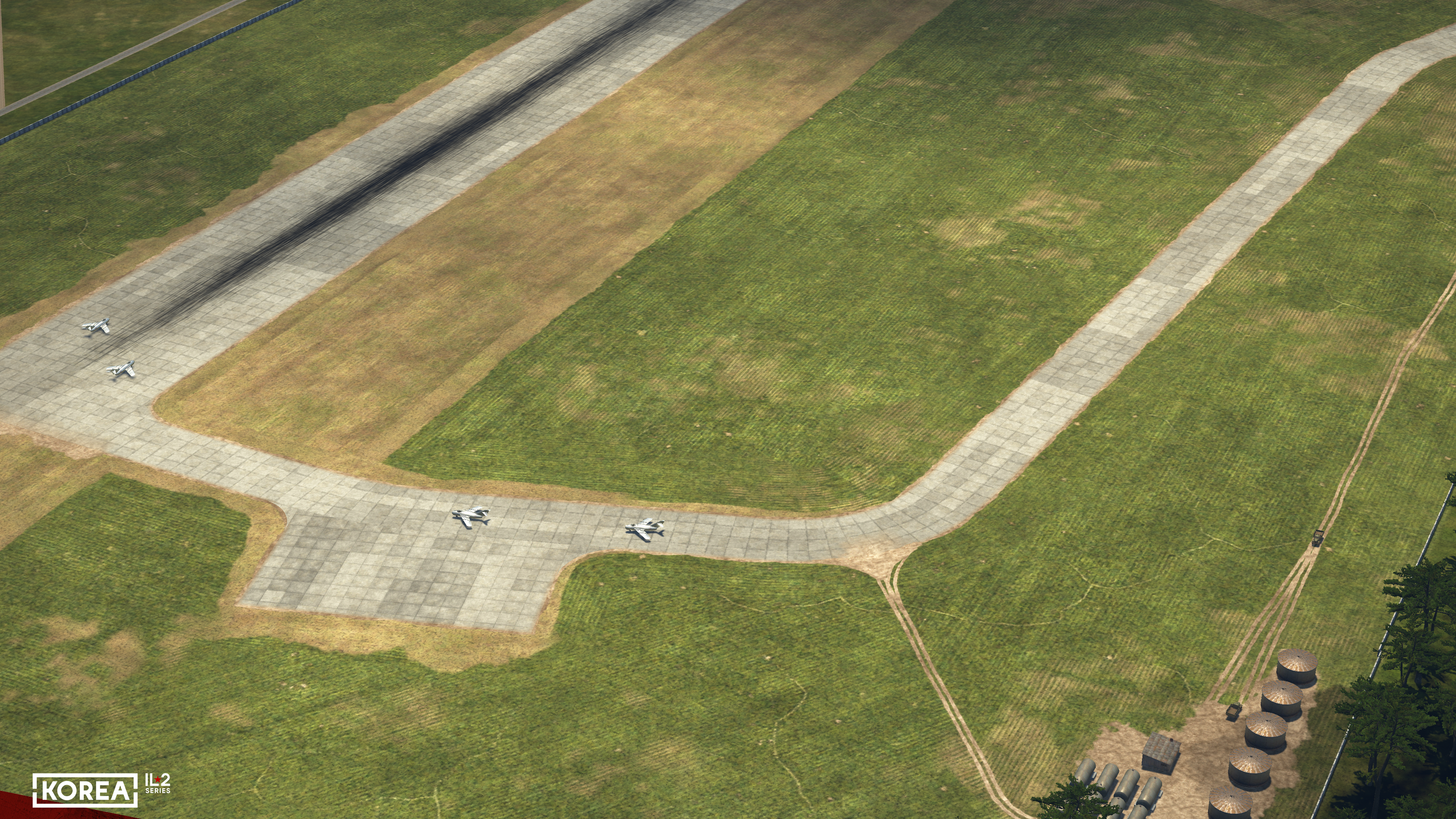
Airfields are no longer flat and have gained some relief, which gives an entirely new feel during takeoff, landing, and taxiing, as we mentioned before.
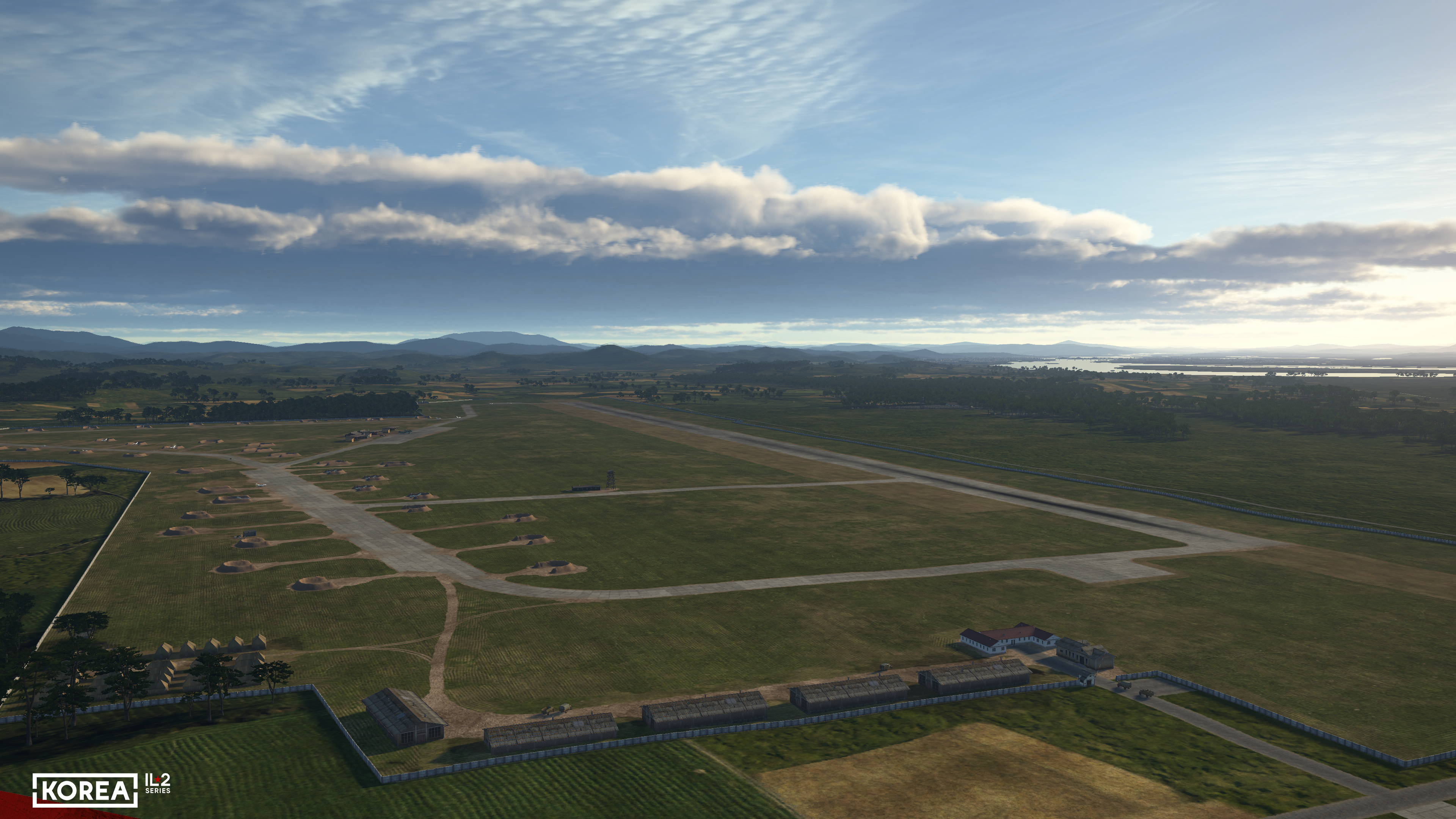
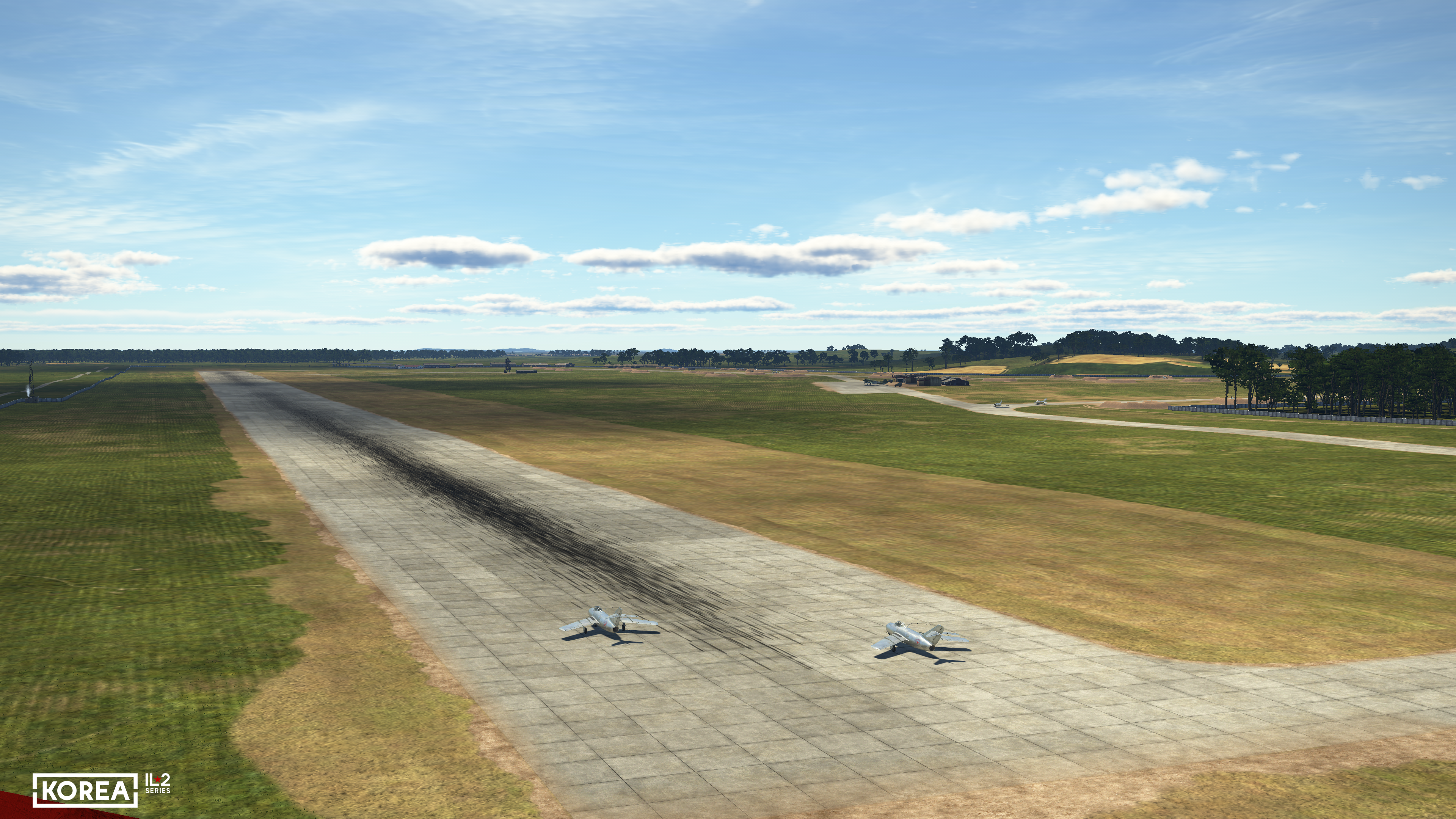
But that’s not all. While in Great Battles there were three ground surface types (concrete, compacted soil, dirt), in Korea there are twice as many. A separate type was created for surfaces with Marston (PSP) mats. Two gradations of unevenness were also added between bumpy "wild" fields and compacted soil — land without major unevenness in the adjacent areas of airfields and the grass airfield surface. This creates a variety of situations when rolling out an aircraft from taxiways, as well as during takeoff and landing at different airfields.
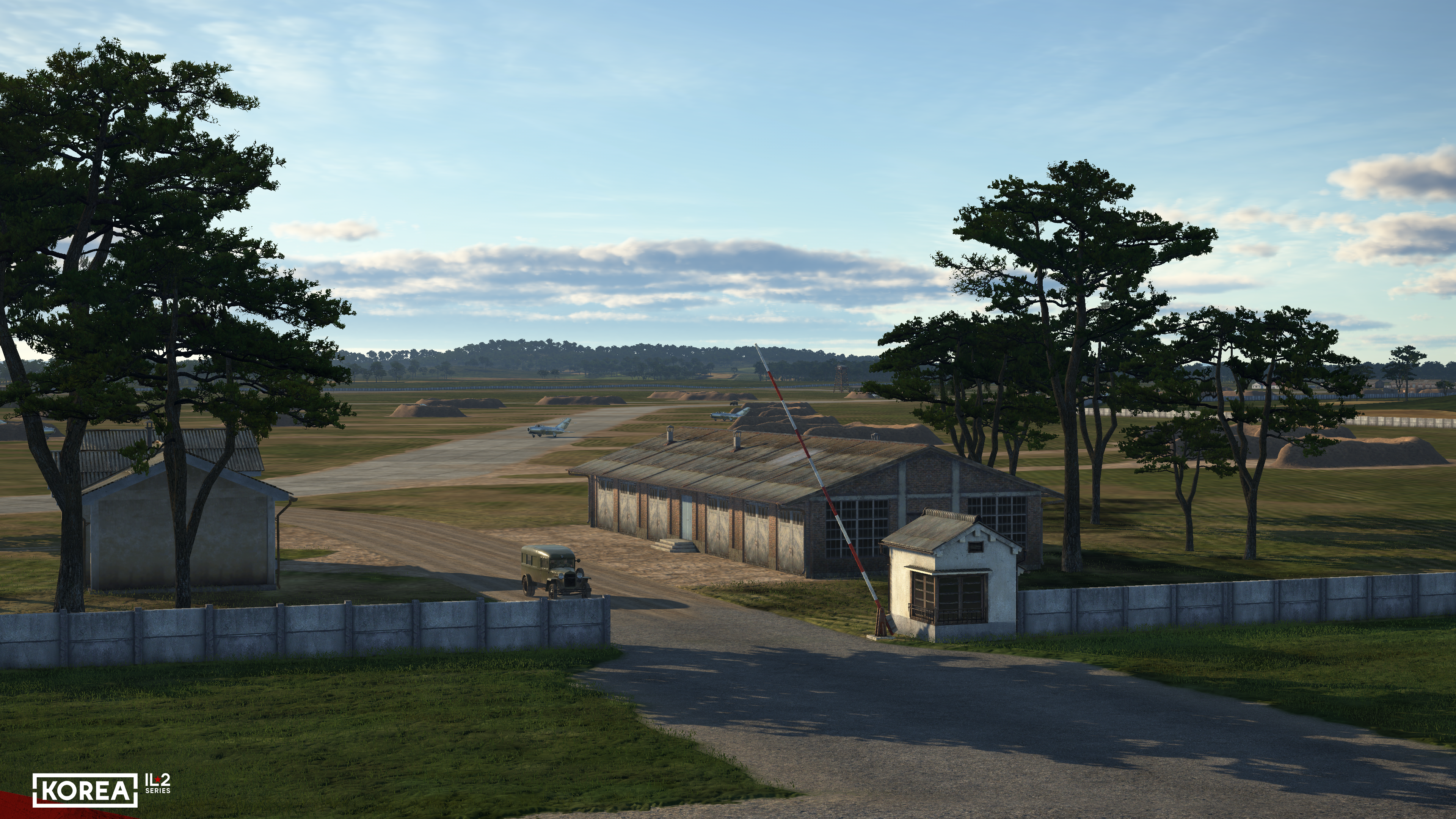
The new airport texturing system, based on PBR technologies, visualizes the texture of different parts of the airfield at an entirely new level. Increased texture detail has enabled better conveyance of the airbase’s layout, and the airfield’s appearance has become more "lively" and realistic overall. For example, taxiways and runways, as well as the boundaries between concrete surfaces and the ground, are now more detailed. New technologies make earthen caponiers look very natural.
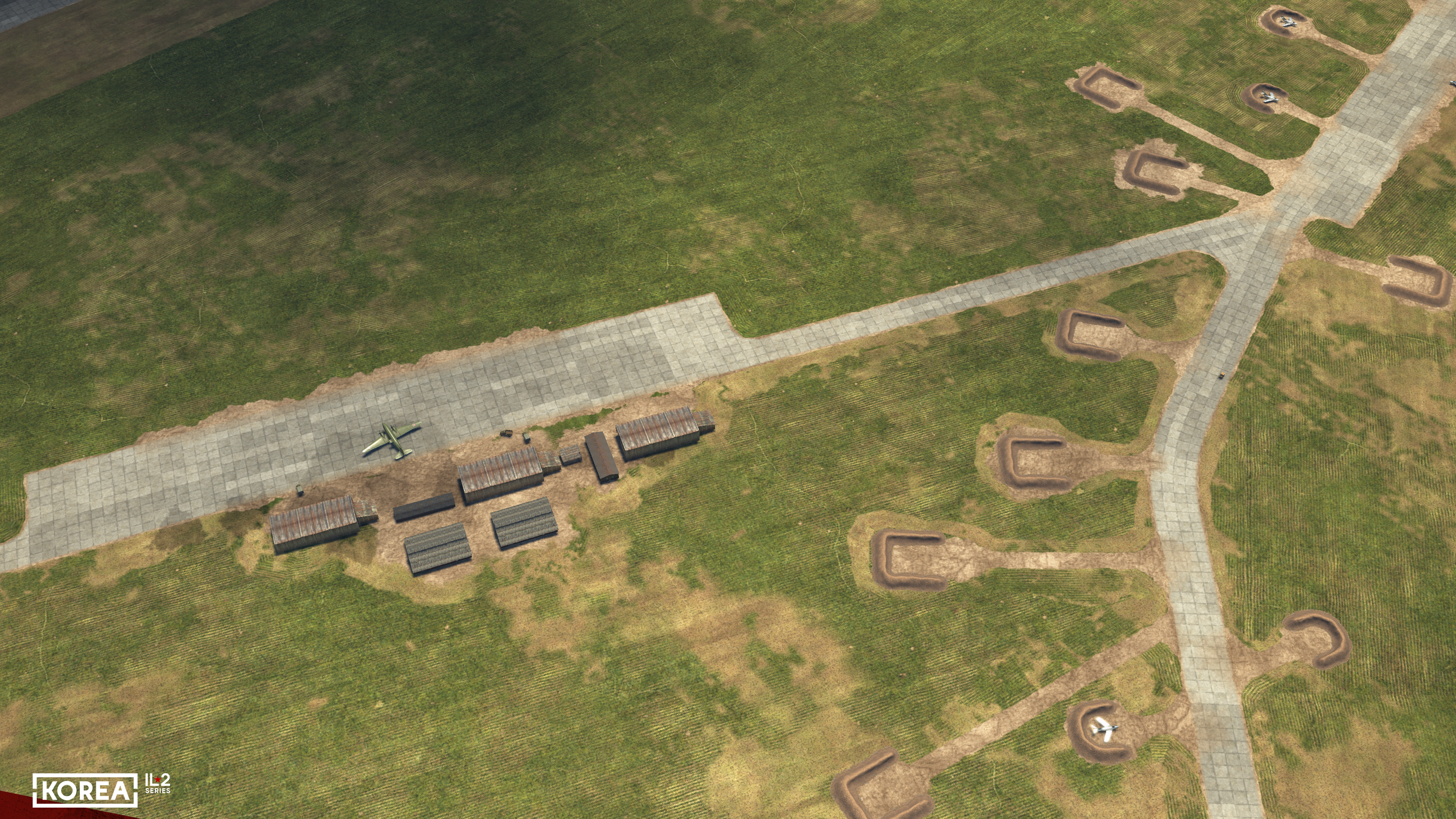
The redesigned, much more complex AI aircraft taxiing module allows the entire network of taxiways and parking areas to be used. When moving around the airfield, the AI dispatcher determines the taxiing routes, the order in which aircraft occupy the runway, and the order of passing intersections.
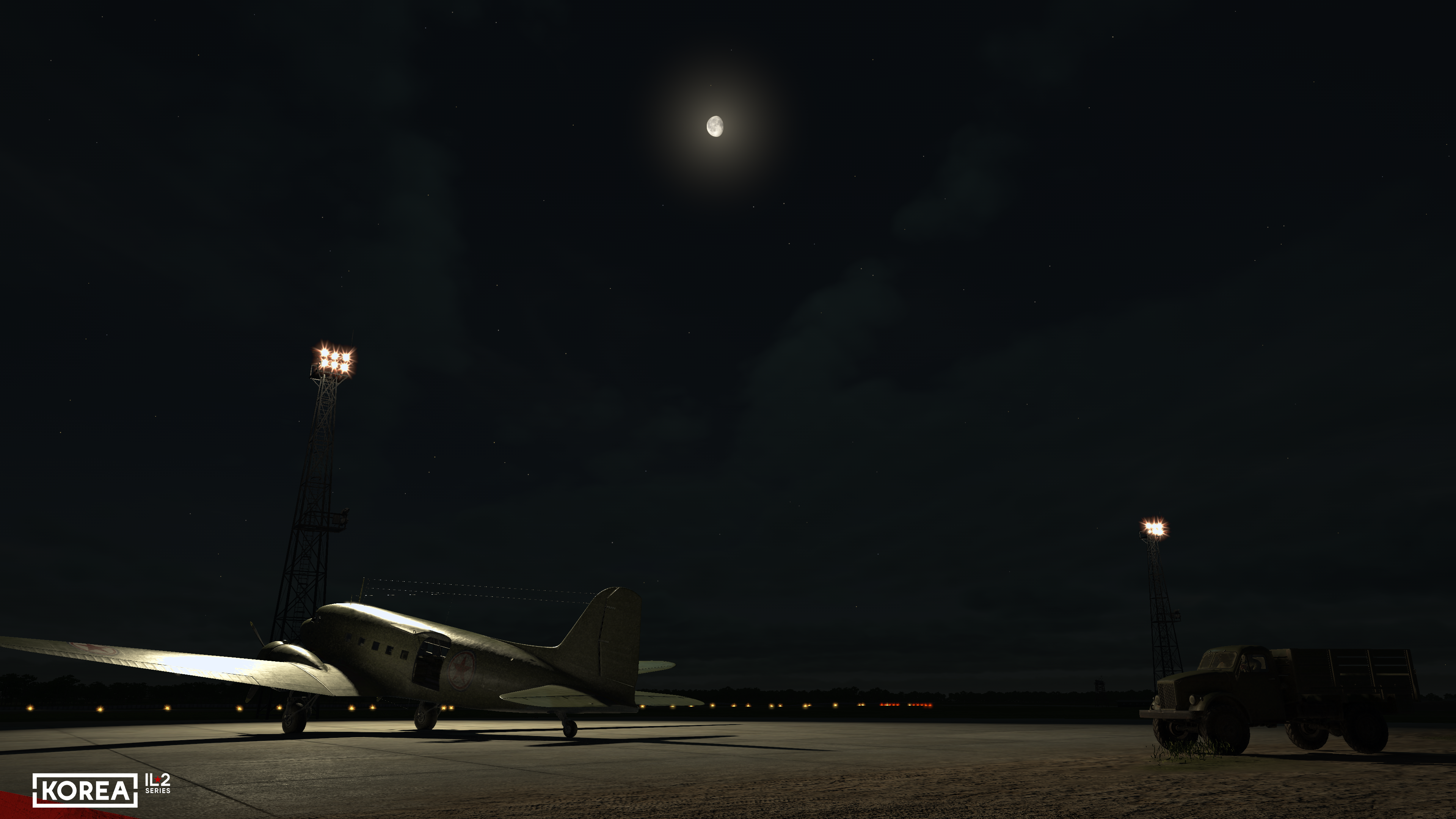
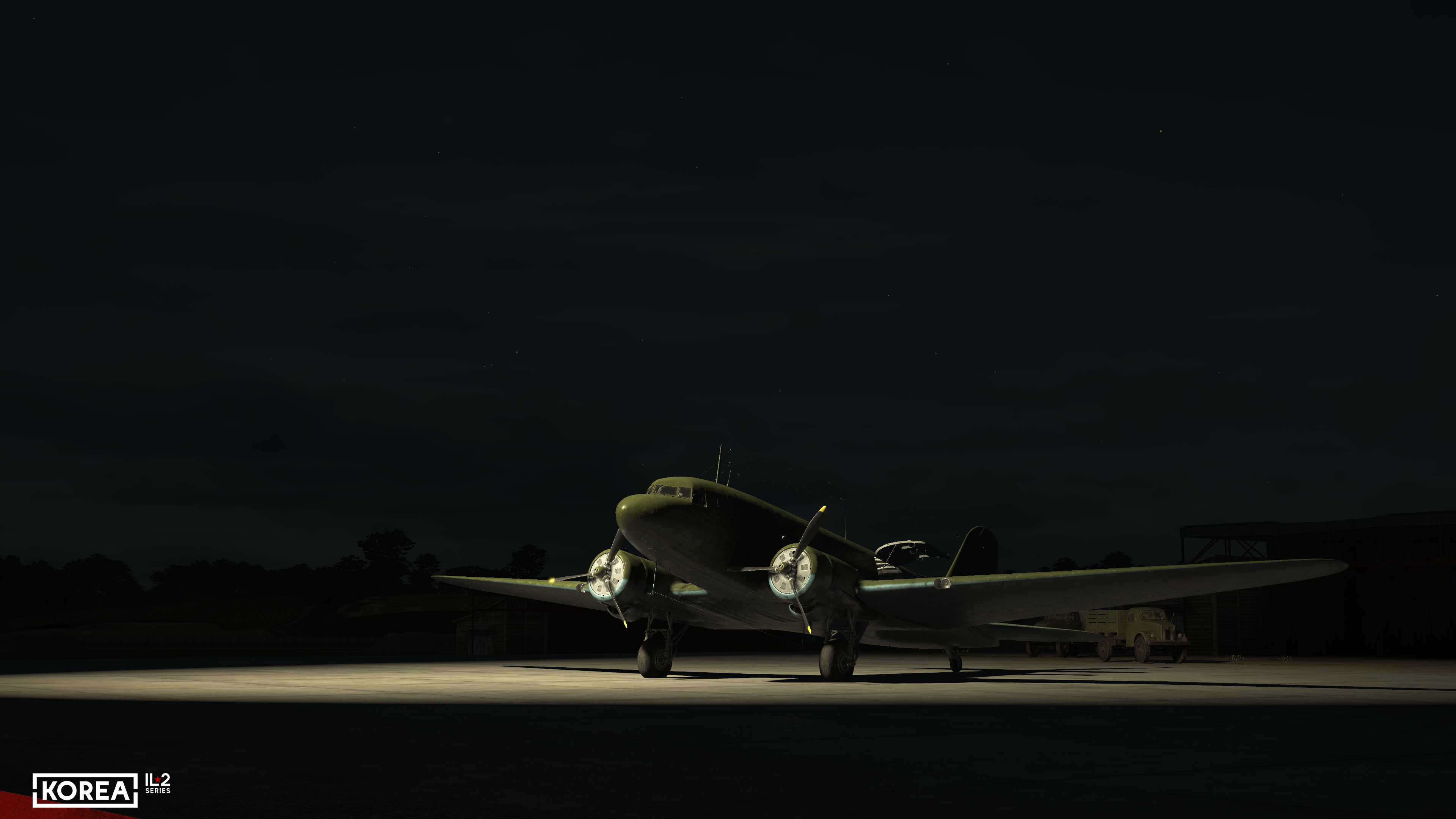
A new night lighting system awaits you in Korea. This is a complex task, as hundreds of millions of light sources illuminate the ground across a 500×500-kilometer map. But with the help of modern technology, this task is solvable, and one result of its implementation is the airport night lighting system.
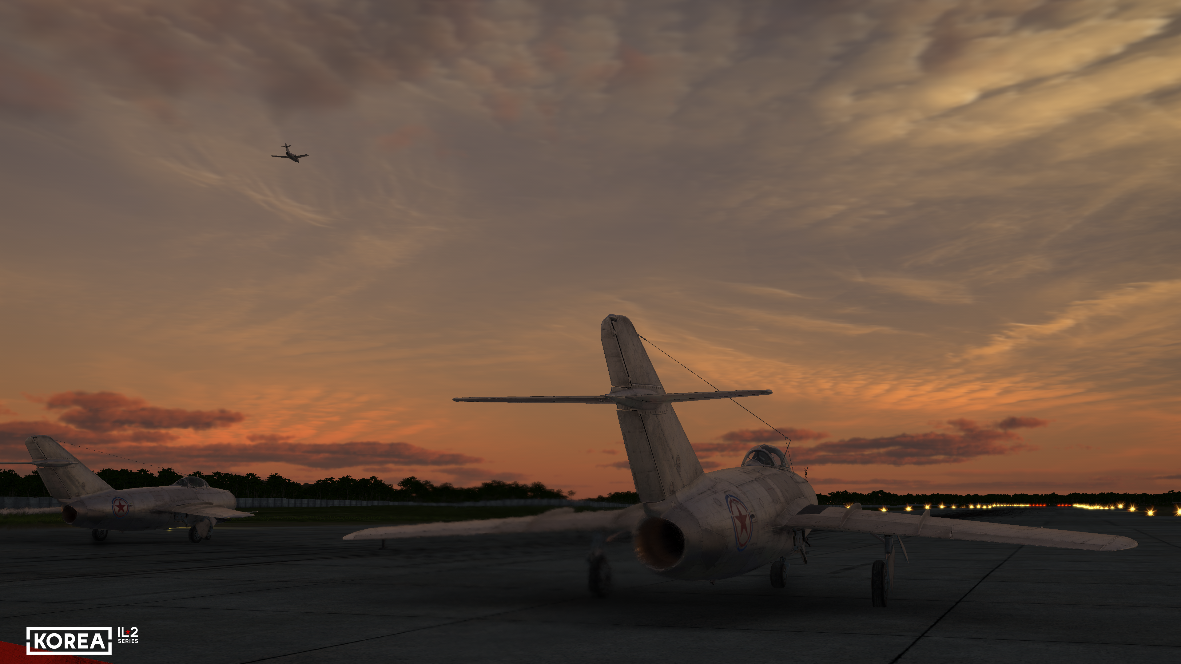
This was not relevant during World War II, as airfields were marked at night by searchlights and bonfires. But progress is relentless: during the Korean War, runways already had rows of electric lights to mark them.
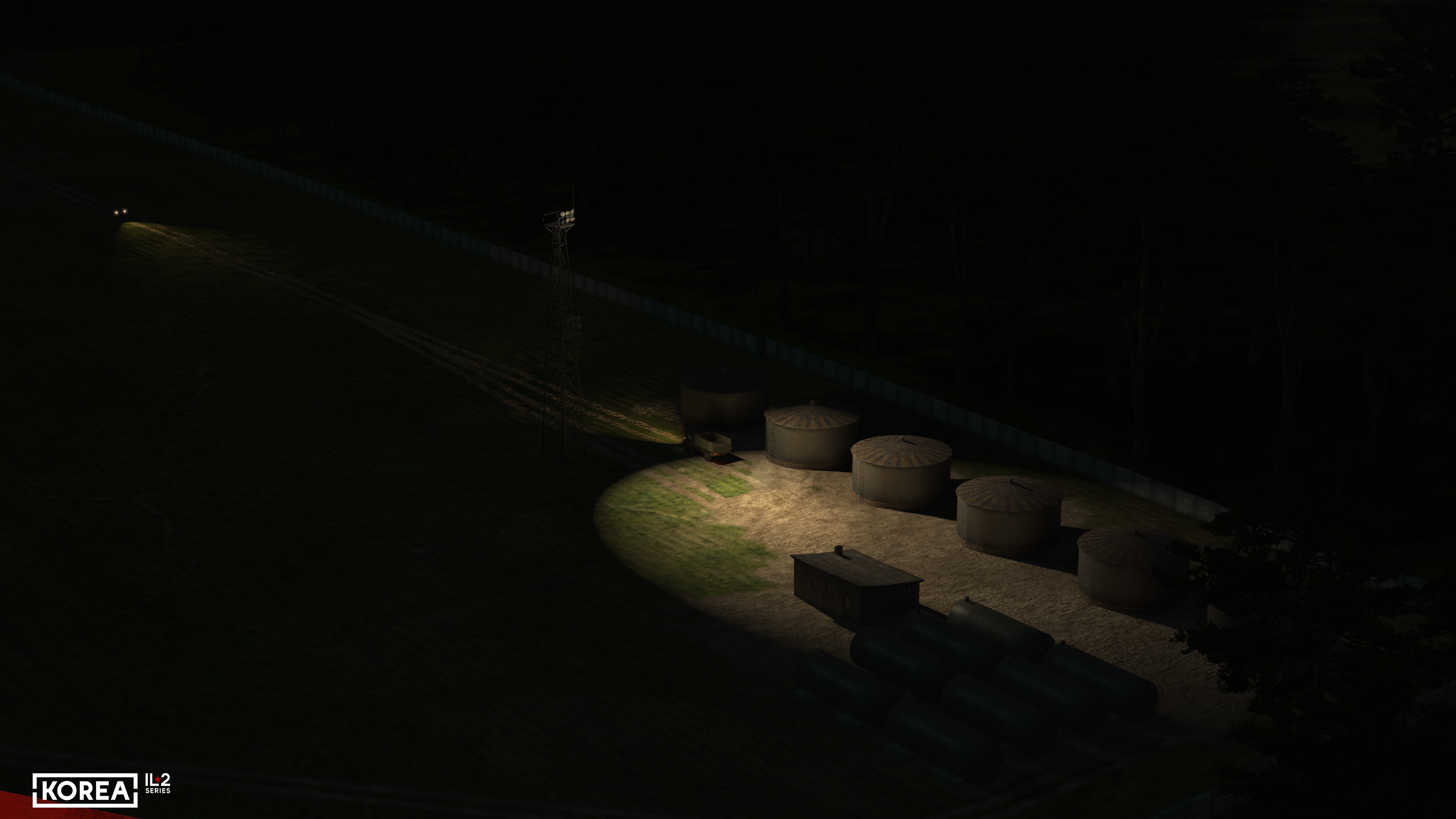
Given that we have a combat flight simulator, the task was complicated by the need to implement a shutdown of lighting in the event of damage to the corresponding sections of airfield lights or city blocks. And this has also been done.
We will continue to show more of the "Korea" map in the following issues.